
- GeoData
- » Database
| Date: | 2016 |
|---|---|
| Project: | uc1420 |
| Client: | Isle of Wight Council |
Isle of Wight Public Rights of Way data capture
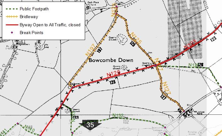
GeoData cleaned and improved spatial datasets representing the island's extensive network of public rights of way.
The Isle of Wight Council wishes to enable easy access to the island's rights of way map on their website for the general public.
In order to provide an accurate dataset GeoData scanned the Definitve Map of the Isle of Wight and digitized approximately 500 miles of public rights of way. This involves splitting the network into sections and the correct attribution of each section. In addition several changes to the network which were completed since the last publication of the Definitive Map were incoorporated into the new dataset.