
- GeoData
- » Recreation + access
| Date: | 2002 |
|---|---|
| Project: | uc0628 |
| Client: | English Nature |
| Associates: | Richard Lindsay |
Evaluation of remote sensing of lowland raised bog condition
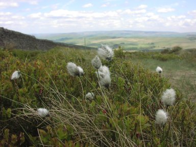
Condition monitoring of SACs present challenges, especially where sites are flat, where ecological changes are subtle and access is constrained. Remote sensing has been tested for its ability to discriminate condition classes for lowland raised bogs.
The potential to use remote sensing techniques to assess the nature and extent of the condition of lowland raised bogs has been assessed. This programme using IKONOS and other satellite as well as aerial photography and Lidar data has established a method for characterising the conservation condition of raised bogs. This approach offers a great opportunity to map the changing condition of bogs and the efforts to restore ecological value of degraded bogs, which are otherwise difficult, time-consuming and potentially dangerous to access.
Sites in England, Wales and Northern Ireland were examined, with both field survey and RS data analysis.