
- GeoData
- » Data
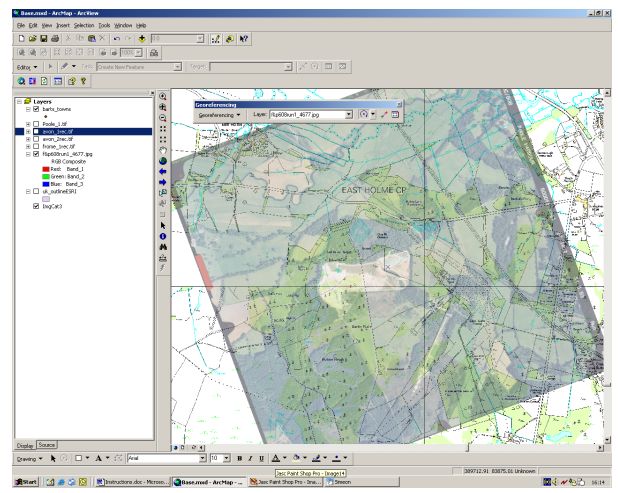
Data » Georegistration
Scanned images may be skewed and distorted due to the original material, lens and processing stages. These errors need to be removed and often images need to be mosaicked or seamless layers produced for effective use in GIS. GIS map images also need to be registered to a projection grid to allow for GIS display for "heads-up" digitising. GeoData offer:
De-skewing
Rectification and cropping
Image processing / improvement
Geo-registration to projection grids
Georegistration - Postcode georegistration