
- GeoData
- » Web
| Date: | 2008 - 2014 |
|---|---|
| Project: | uc1087 |
| Client: | North Wessex Downs AONB |
North Wessex Downs AONB Interactive Management Plan
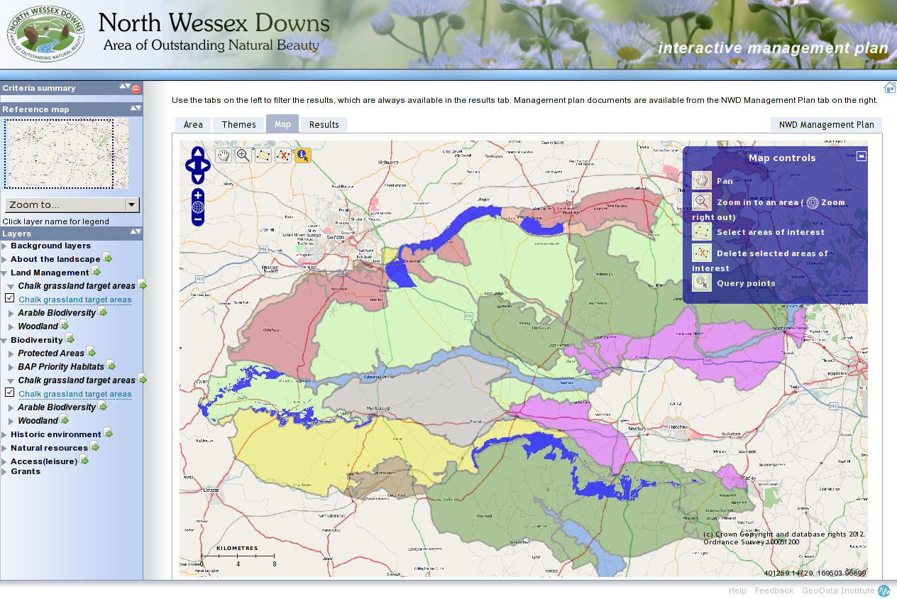
The North Wessex Downs AONB's Management Plan document is presented as a live and interactive tool.
As an Area of Outstanding Natural Beauty, the North Wessex Downs is under the protection and management of its Council of Partners, made up of representatives from local authorities, community and parish councils, Natural England and local conservationists and businesses.
The Council of Partners approached GeoData to present their Management Plan Document as a live and interactive tool. We used postgreSQL and postGIS with MapServer and OpenLayers to present an interactive map from which users can explore, filter and retrieve information and guidance relevant to their interests.