
- GeoData
- » International development
| Date: | 2011 |
|---|---|
| Project: | uc1271 |
| Client: | UN-FAO |
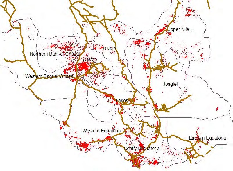
South Sudan Annual Survey

Utilisation of land cover/use data and the population census in the instigation of an annual sampled agricultural survey in the newly formed South Sudan. The process is supported by the development of a multi-level government capacity development program to last some 3 years. Skills sets include
- IT/GIS/Database
- Awareness raising for decision makers
- Statistical skill sets and Earth Observation