
- GeoData
- » International development
| Date: | 2011 |
|---|---|
| Project: | uc1243 |
| Client: | UKRC |
Ecosystem Services for Poverty Alleviation: Bangladesh

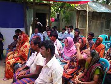
Development of a full research strategy in the coastal zone of Bangladesh exploring the relationship between Ecosystems service provision, climate change and the occurrence of poverty. The project used a workshop and field forum to develop the research ideas that would address the needs of the Bangladeshi decision makers in the light of climate change as well as exploring the potential for interaction with Indian and Chinese researchers and decision makers. As the lead institution the University of Southampton and the GeoData Institute were responsible for the production of a the full strategy to be presented to UKRC in the form of a proposal for 5 years of activity in Bangladesh with associations in India and China.
Field components of the trip identified community reliance upon a wide range of ecosystem services in a dynamic relationship that spans seasons and provides resilience through a wide range of livelihood options. These include fisheries, agriculture, wetland products, and Non-Timber Forest Products