
- GeoData
- » International development
| Date: | 2005 |
|---|---|
| Project: | uc0661 |
| Client: | World Bank |
Socio-Economic Atlas of Tajikistan
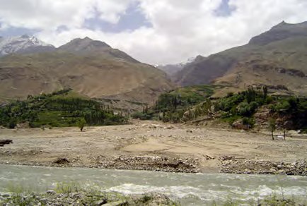
 The GeoData Institute and the University of Southampton undertook to develop an atlas of poverty in the central Asian state of Tajikistan. The process involved processing of the census and mapping of baseline environmental and infrastructure data. The process was underpinned by capacity development in GIS and database management within the government, NGOs and multilateral agencies (UN)