
- GeoData
- » Gis
GIS » Mobile Mapping
Mobile mapping offers a wide range of enhancements to traditional field data entry and manipulation, enhancing the quality of data capture and the reducing duplication of effort. GeoData are able to offer mobile mapping services using either off-the-shelf (ESRI ArcPad development) or custom built software products running upon Personal Digital Assistants (PDAs) & Tablet PCs.
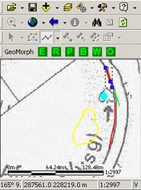
We use ruggedized equipment running various mapping software for the collection of river habitat and geomorphological information and have designed and developed several databases for the collection of field data. We also have experience of linking these units to GPS. Infield devices also offer the opportunity for context sensitive help resources to ensure compliance with mapping standards.