
- GeoData
- » Gis
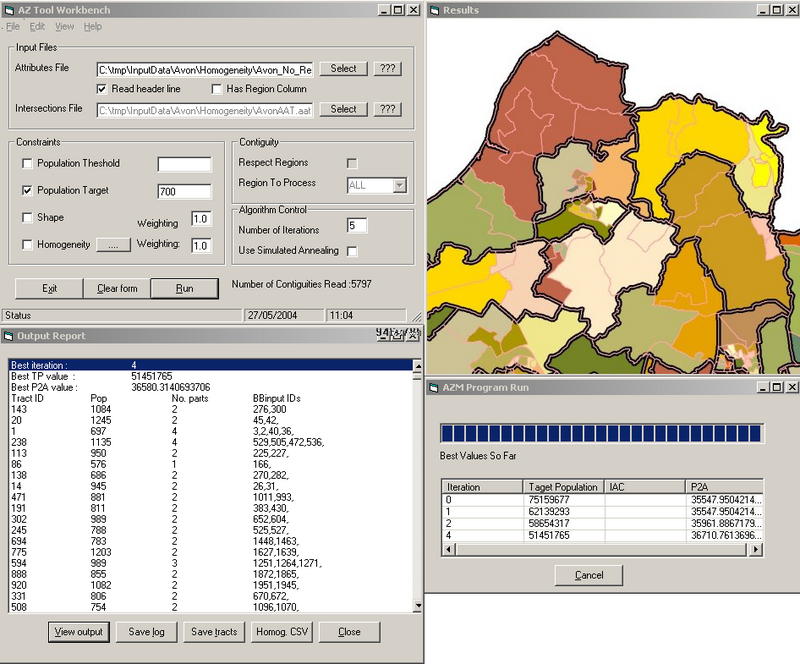
GIS » Development
As no single GIS can truly offer tools to cover everyone's requirements, GeoData offer a range of customisation and bespoke GIS development services.
These applications range from simple software add-ons (automating common tasks or adding new functionality) to the creation of entire GIS and integrated database applications.
Desktop GIS development is offered primarily in Avenue, ArcObjects, MapObjects & MapBasic. (In addition, see our WebGIS pages for internet based mapping solutions).
Project profiles
- Catchment Area Correction Tool (CACT)
- Dolmen archaeological database and GIS
- Geomorphological mapping of New Forest streams
- Geomorphological mapping of Sulphur Creek, California, USA
- GIS Links
- Morphological Alterations of Scottish Rivers
- New Forest Open Management System
- New Forest Recreation and Access Monitoring System (RAMS)
- Recreational Access Monitoring System (RAMS)
- River Kennet Fluvial Audit
- SMR GIS - Database link
- Socio-economic impact of AIDS in Southern Africa
- Spatial Comparison Task tool