
- GeoData
- » Data
Data » Scanning
GeoData provides a scanning service for your GIS needs (paper maps, plans and records). We can collect and return valuable items or offer a MOBILE Scanning service within your offices. Scanned images can also be de-skewed and georegistered.
SPECIFICATION
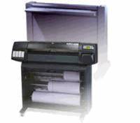
VIDAR scanning system
Optical resolution of 400 dots per inch (dpi)
Variable resolutions from 1 to 800 dpi
Straight paper path
Dual feed paper handling
Plan and map sizes up to A0 format (40)
Black and white, 256 greyscale or 24 bit full colour