National Coastal Monitoring Programme
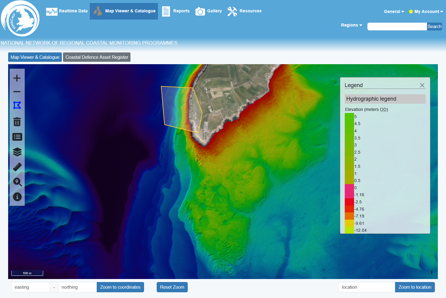 GeoData are responsible for all aspects of the National Coastal Monitoring Programme data management and open data web portal, including geospatial database and metadata search engine, web-based GIS interface to over 10TB of coastal survey datasets (over 1.2m aerial photographs, LiDAR, bathymetry, topographic and other surveys). The site also provides access to the largest network of real-time metocean sensor data in the UK.
The Channel Coastal Observatory is the data management and coordination centre for the National Network of Regional Coastal Monitoring Programmes of England. The programme provides a consistent regional approach to coastal process monitoring, providing information for development of strategic shoreline management plans, coastal defence strategies and operational management of coastal protection and flood defence.
The programme is managed on behalf of the Coastal Groups of the Southeast of England and is funded by DEFRA, in partnership with local Authorities of England and the Environment Agency.


