Open Rivers Network
Posted 2025-05-23 11:16:07 by Duncan Hornby
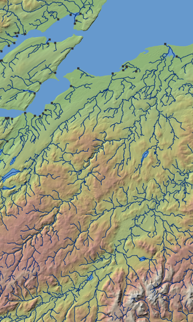 The Open Rivers Network is free dataset released under the Open Government Licence v3.0. It is built upon a 2023 release of the Ordnance Survey Open Rivers dataset. The Open Rivers Network contains over 144,000 km of topologically corrected watercourse in Great Britain. The fully connected network was attributed with a range of geomorphological values and provides a framework for sampling and extracting information at site level. A second site layer mapping 100m spaced points across the entire network provides point-based attribution for detailed river analysis. A third layer provides a catchment polygon for each 100m spaced point where it could be reliably generated.
The dataset can be accessed from: https://openrivers.net/


