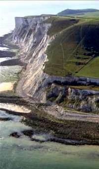
Maritime Cliff and Slope Inventory
 The English cliff and maritime slopes form a varied and largely undisturbed habitat, yet one that is difficult to survey. This study collated the data on the extent of existing phase 2 survey.
GeoData Institute has managed the development of an database inventory of maritime cliff and slope mapping in England.
This project has collated information on over 230 separate surveys, incorporated the data into an NBN metadatabase, established the approach for mapping further cliff sections based upon accepted definitions of habitat components. In association with Tom Dargie and Blue-Bag Ltd.


