Active Travel Network (RATIN)
 The Routable Active Travel Infrastructure Networks (RATIN) responds to the Active Travel Agenda that encourages and develops the data infrastructure to support walking and cycling for multiple transport, health and well-being outcomes.
This project aims to address the current lack of a realistic, comprehensive, connected network by creating and testing a data framework for active travel uptake.
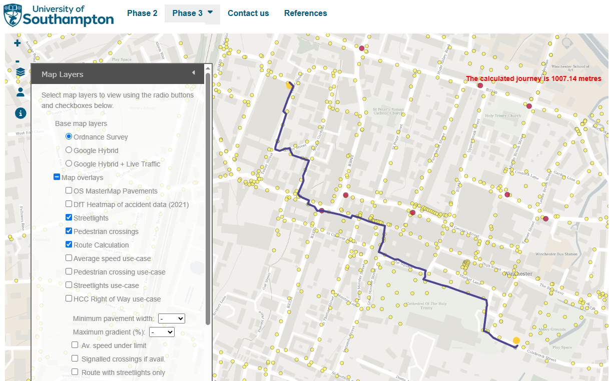
The project has progressed through 3 phases with the support of Ordnance Survey, exploring existing datasets, creating a routable network with detailed attributes such as pavement width, and developing a geospatial framework to support various active travel use-cases, including a web map that can calculate routes based on user preferences.
Publications:
Hill, C. T., et al. 2024. “An Integrated Geospatial Data Model for Active Travel Infrastructure.” Journal of Transport Geography 117:103889. https://doi.org/10.1016/j.jtrangeo.2024.103889
Emberson, C., Blainey, S., Hill, C., Sadler, J., & Cavazzi, S. (2024). The development of a routable pavement network dataset to support active travel. Transportation Planning and Technology, 1–20. https://doi.org/10.1080/03081060.2024.2427120


