New Forest streams
Posted 2025-06-06 10:15:27 by Duncan Hornby
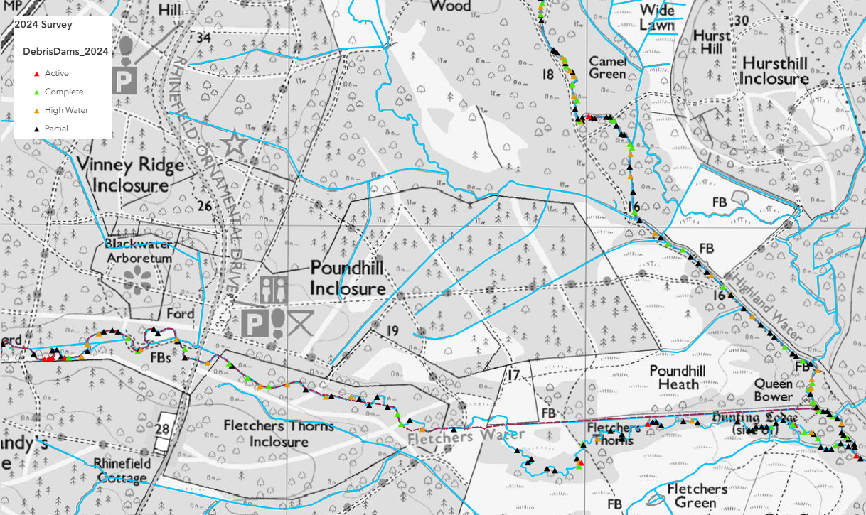
GeoData has a long history in running repeat surveys on capturing and analysing woody debris in selected New Forest streams. Originally data was captured on paper maps, but as technology improved, GeoData moved to mobile mapping for efficient data collection along New Forest streams to help understand the impact of woody debris in river dynamics.