Please enable JavaScript for this site to run correctly.
Posted 2025-06-06 10:15:51 by Duncan Hornby
GeoData supported a French team (IRD) in Madagascar as part of the WIoDER network. Partners were trained in remote sensing using QGIS on identifying Mangrove habitat loss within the Betsiboka delta and learned how to use mobile mapping for field validation.
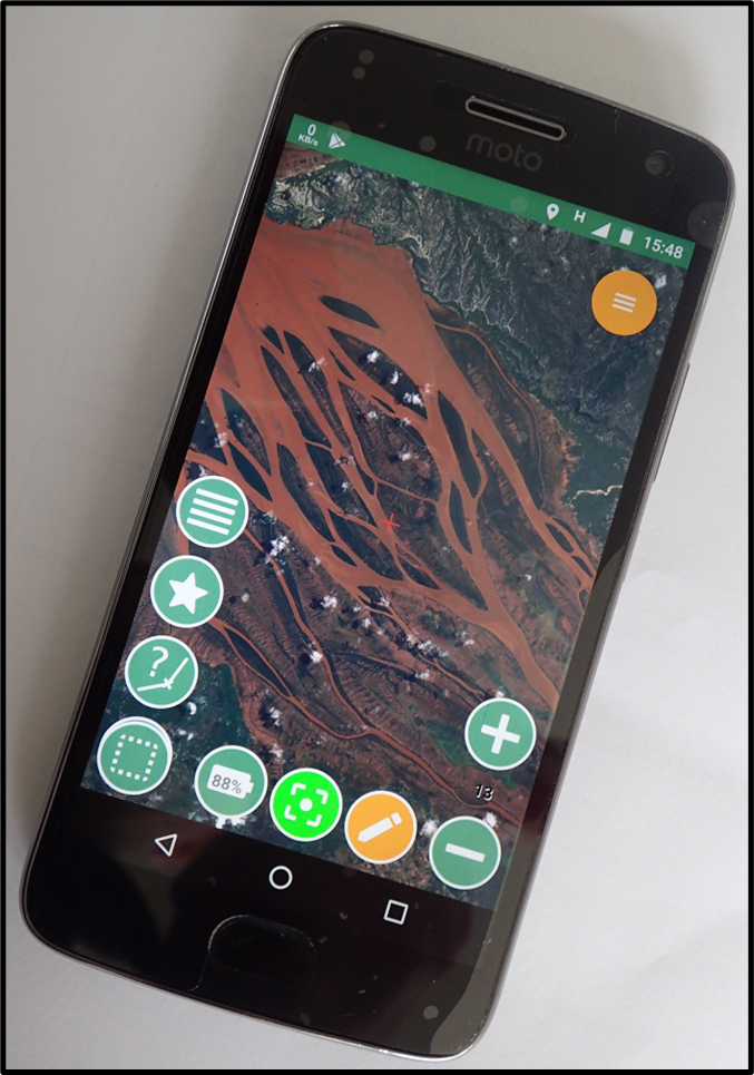
Mobile mapping running on an Android phone


Collections:
Recent International Development Projects


© 2025 GeoData Institute, University of Southampton. All rights reserved. - GeoData and the GeoData logo is the registered trademark of the GeoData Institute, University of Southampton.