GeoData
Home
About Us
Research
GIS
International development
Environment
Web
Data
Sourcing
Capture
Scanning
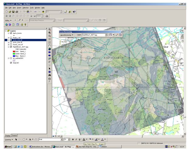
Georegistration
Survey and Monitoring
Metadata
Database
Projects Directory
GIS Training
Researchers
Publications
Contact Us
Search
GeoData
»
Data
Filter results
Themes: All
GIS
Database
Data
Web Development
Training
Environment
Geomorphology
International Development
Recreation + Access
Subthemes: All
Recently viewed
Georegistration (all)
Projects in Georegistration
New Forest Atlases
Open Access: Mapping of Registered Common Land for the Countryside and Rights of Way (CRoW) Act 2000
Rectification and Compression of Aerial Photographs - Dorset & Wiltshire
Rights of Way Sectioning - West Sussex and South Downs
Terms and conditions
Geography & Environment
Contact details