
- GeoData
- » Data
| Date: | 2008 |
|---|---|
| Project: | uc0985 |
| Client: | West Sussex County Council |
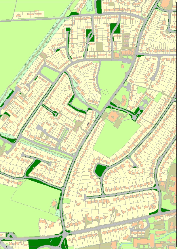
Urban Roadside Grass Cutting
GeoData Institute was contracted by West Sussex County Council Highways Department to capture all of the urban roadside grass in West Sussex County into a GIS.
The purpose of the project was to improve the method of contracting out grass cutting work and to improve the way in which urban grass data are held at the Highways Department. WSCC previously used a series of paper maps with the Ordnance survey 1:2,500, as a basis and with the grass cutting areas marked on in green shading. The new approach was to generate a digital dataset using Ordnance Survey Mastermap.
The digital data generated is to be uploaded to the WSCC intranet system IBROWSE. This will help with calls from the public enquiring about their local grass cutting. It is estimated that there are at least 7 calls a day into the support desk about grass cutting queries