
- GeoData
- » Web
| Date: | 2011 - ongoing |
|---|---|
| Project: | uc0897 |
| Client: | European Commission (Interreg IV) |
| www.a2s-geoportal.eu | |
A2S Geoportal
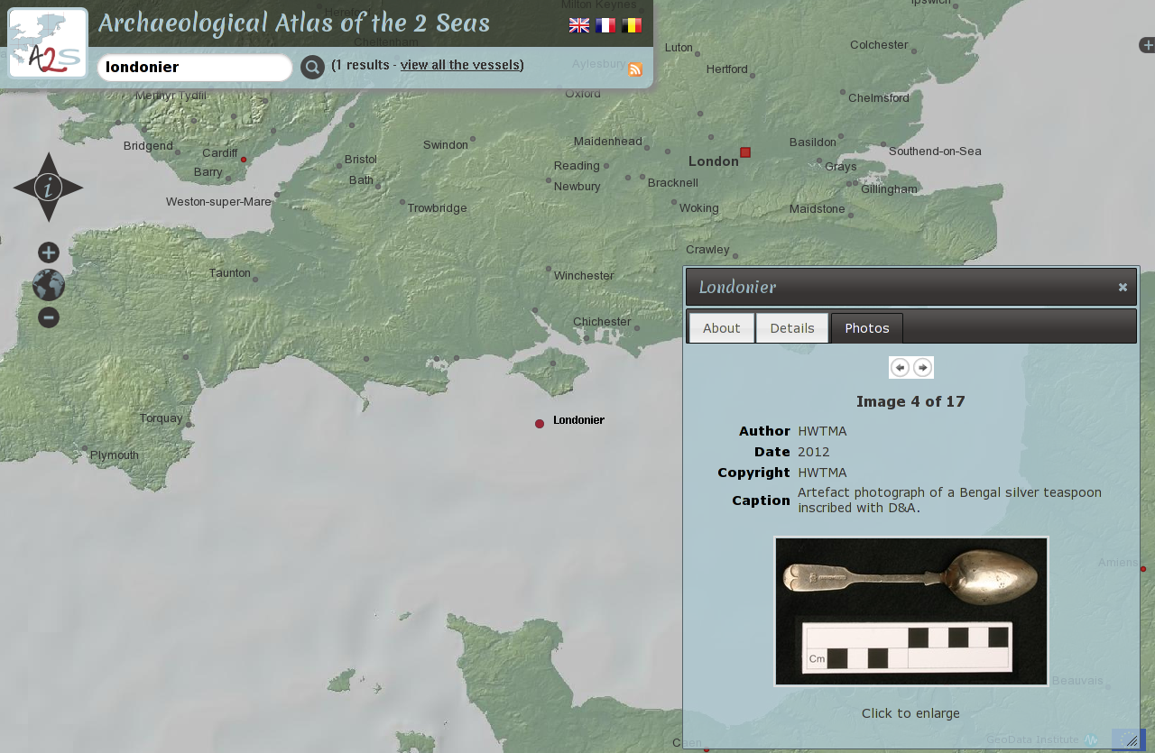
International partners ADRAMAR (French), VIOE (Belgian) and HWTMA (English) commissioned GeoData to create a Geoportal offering a comprehensive vision of the marine archaeological landscape.
International partners undertook an ambitious project to collate cross-border archaeological maritime heritage data. GeoData developed an Geoportal offering a comprehensive vision of the marine archaeological landscape.
We used cutting edge open source tools to deliver a map interface to data and photographs from each of the partners' archaeological sites. By locally maintaining our own copy of the data, updated daily, we can provide a consistent view on these independent data sets. The portal is trilingual (English, French and Dutch).